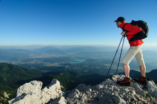
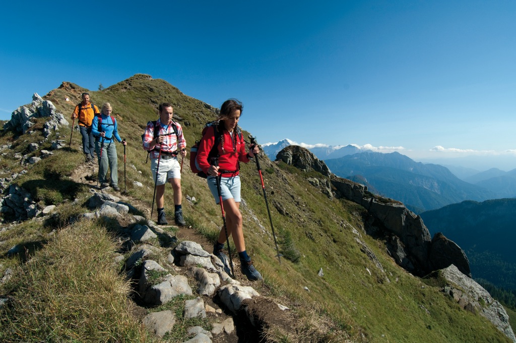
Hiking and trekking
You can start your hike or walk directly opposite our campsite in the Lake Faaker See Natur Aktiv Parklandscape conservation area. Here on several trails you can not only enjoy the newly designed fitness course, but also the forest and nature. The fitness course comprises around 20 unique stations, such as a small trampoline on the forest floor and a small climbing wall. A highlight for adults and children. Further information, map
Tabor Hiking Trail (easy)
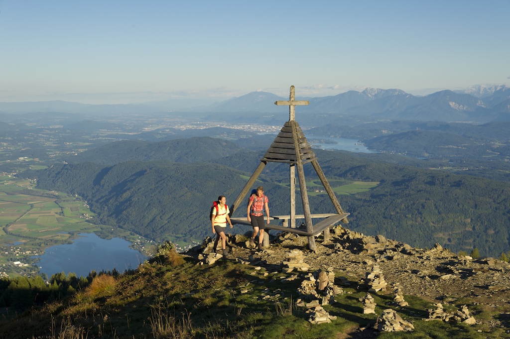
From the Tabor you can enjoy a breathtaking view of Lake Faaker See. The Tabor is around 5 km from our campsite. A forest road takes you to the summit, where adventurous guests can try out the high ropes course. If this hike is too short for you, you can take the 11.8 km circular trail around Lake Faaker See, which includes an ascent to the Taborhöhe.
Fuchsfährte (Fox Trail), start: Hotel Schönleitn, Oberaichwald (easy)
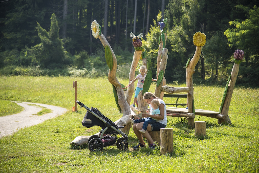
On the newly designed Fox Trail, younger guests will find seven exciting stops which make hiking fun again. The little fox Fidelius urgently needs help. Frieda the goose has disappeared, and he is being blamed. Who will help him find the goose? Along the Fox Trail there are exciting questions to be solved and you can meet your friends, the animals who live in the forest, the water and the field. In Oberaichwald you can enjoy the petting zoo and relax in the giant family hammock.
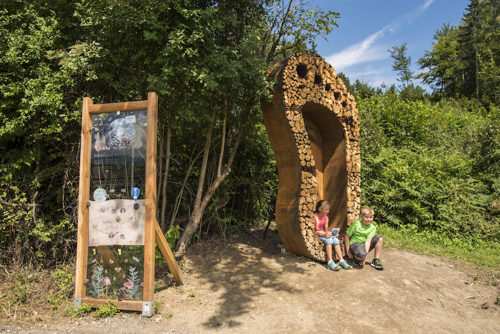
Drachenwald (Dragon forest) - on the trail of Woroun the dragon (easy)
This hiking trail offers a choice between a 3- or 4-kilometre route, with adventure stations made from local wood species with the sonorous names Dragon’s Rest, Hubertus Spring, Magic Spring, Place of Many Puzzles, and Pool of Tears. You can walk the trail barefoot to feel the forest floor under your feet. It is rare to feel this close to nature! Looking for an adventure? Nature lovers can discover the forest when they follow the trail of Hubertus the stag and Woroun the dragon, who takes his name from the Worounitza, a crystal-clear stream that flows from the Karawanken into Lake Faaker See. There are tricky puzzles to solve along the way. An experience for all the family, and best of all it is only 4 km from our campsite!

Hike to the Bertahütte and to the Mittagskogel, the King of the Karawanken (moderate to difficult)
From the Hotel Mittagskogel in Ledenitzen, this trail slowly ascends as it leads through the forest to the romantic Bertahütte lodge (approximately 2 hours) which serves food and drink. The ascent from here to the Mittagskogel is a real challenge, so please take climbing boots with you. The view from the top is sensational!
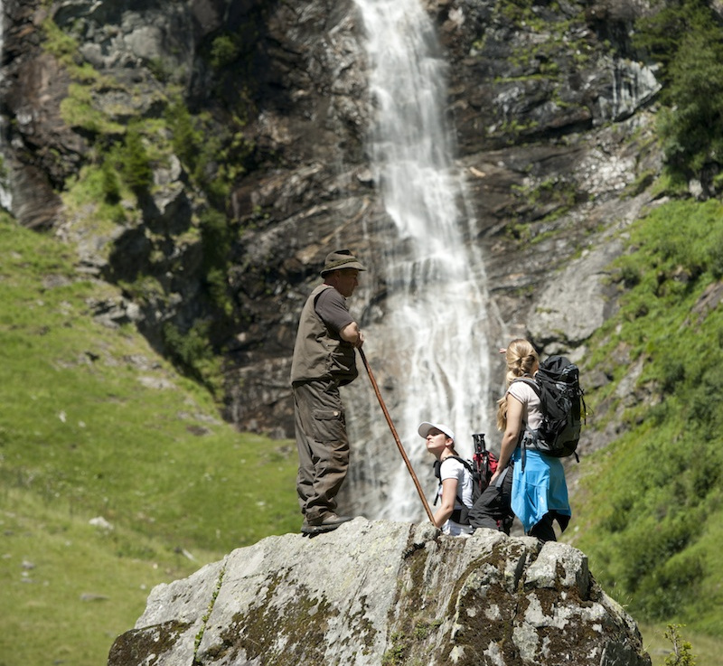
Hike to the Rotschitza waterfall and the fixed rope route
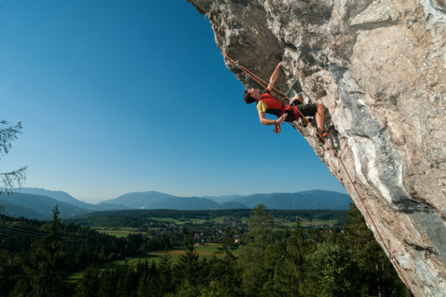
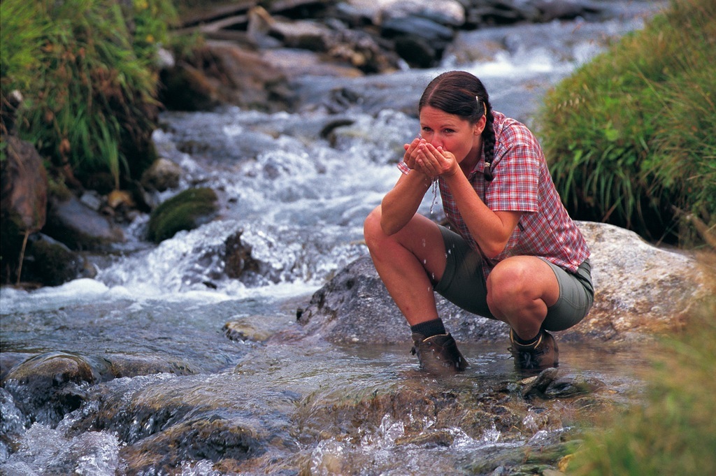
This hike starts on the Baumgartnerhöhe above Finkenstein Castle. Simply follow the “Wasserfall” (waterfall) sign. After around 45 minutes uphill (forest floor, then stony), the very idyllic route leads through the forest alongside the Rotschitza stream to the impressive waterfall. A great scene for photos! If you enjoy climbing, the fixed rope route (level of difficulty B/C, moderately difficult) starts right alongside the waterfall and offers a spectacular view of Lake Faaker See. Climbing harness, helmet and climbing boots required.
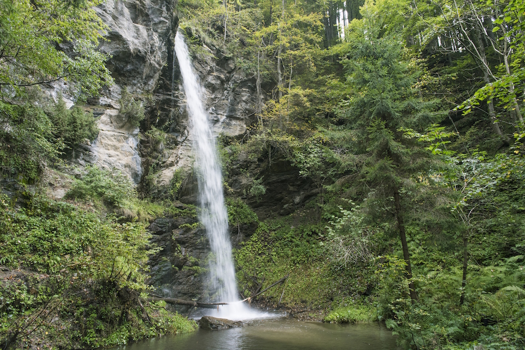
Finsterbach waterfalls in Sattendorf
If you would like to experience even more waterfalls, you can do so in Sattendorf, which is the starting point for the Finsterbach waterfalls. After a short ascent, it is a comfortable 1.5 km to the three waterfalls.
Circular forest trail: an unhurried hiking tail through the forested Dobrova landscape
Hike from the tourist office in Drobollach into the romantic forested Dobrova landscape. The trail leads along slightly hilly forest paths towards St. Stefan/Finkenstein. In front of the church in St. Stefan follow the road towards Höfling, then continue to the Faaker Moor. Shortly before the Restaurant Schindelstube the trail heads back into the forest towards Drobollach, then meets up with the main road again shortly before Drobollach. A small field path leads back to the starting point.
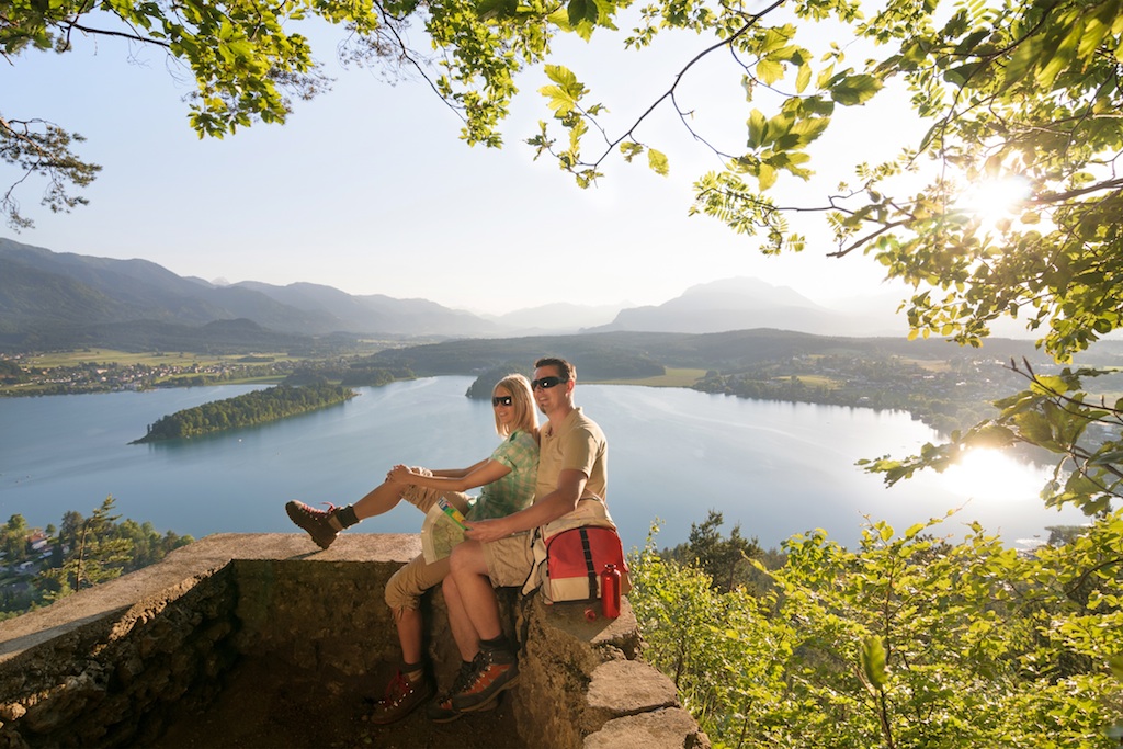
Hiking besides Lage Faaker See: from the mountain to the ruined Finkenstein Castle (moderately difficult)
From the tourist office in Faak am See, take the Alpe-Adria-Trail to Pogöriach and on towards Finkenstein. A forest path leads to the edge of Finkenstein village, and from there around the Kanzianiberg, a paradise for climbers. Here you will also find the water adventure trail, where you can cool off a little. From the Kanzianiberg the hiking trail leads uphill again to the ruined Finkenstein Castle, with a glorious view of Lake Faaker See and the surrounding mountains. The ruins of Finkenstein Castle are the venue for events every summer. A forest path leads from the ruins and back to Pogöriach and Faak am See.
1st Bleistätter Moor Slow Trail: the family experience hiking trail in the European conservation area
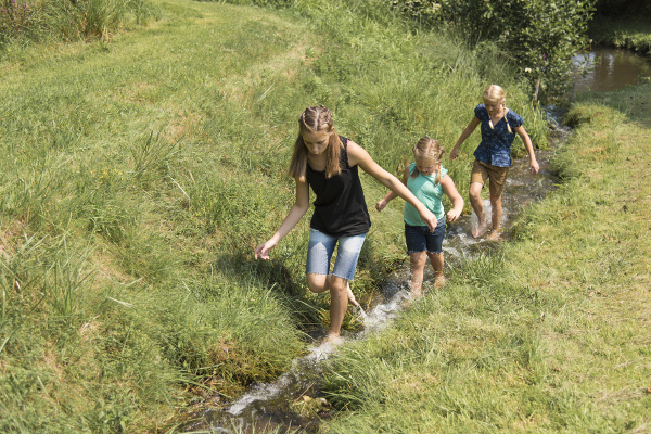
Slow trails are short hiking trails featuring special natural sites. Slow motion applies here rather than high speed. Enjoy a relaxed walk through the Bleistätter Moor, the conservation area around the estuary of the River Tiebel, where you can watch over 100 bird species, bats, butterflies, and with a bit of luck even the industrious beavers in their natural habitat. 2 versions of this 7.1 km long, flat hiking trail are available to enjoy. It leads amongst idyllic relaxation areas with benches, hammocks and especially beautiful viewing platforms. How about a spot of birdwatching from the special birdwatching tower?
Dobratsch circular hiking trail: wildlife watching
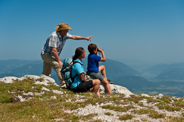
You can discover the natural environment around Villach’s local mountain, the Dobratsch, in 4 one-day stages (4-6 hours). The route leads from Warmbad-Villach via Bad Bleiberg, Nötsch im Gailtal, Feistritz im Gailtal, Hohenthurn and Arnoldstein and back to Warmbad-Villach again. A guided wildlife watching tour is especially fascinating for all the family.
The Alpe-Adria-Trail from Austria's highest peak to the italian sea
The Alpe-Adria-Trail connects the three regions of Carinthia, Slovenia and Friuli Venezia Giulia (Italy) in a total of 43 stages. This long distance hiking trail leads from the foot of the highest mountain in Austria, the Grossglockner, through the most beautiful mountain and lake regions in Carinthia, and without any major detours leads close to the point where the three countries of Austria, Italy and Slovenia.
Alpe-Adria-Trail: stage from Arriach – Gerlitzen Alpe
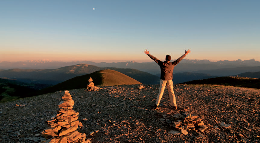
This approximately 5-hour stage of the Alpe-Adria Trail starts off at the Municipal office of Arriach ("Gemeindeamt") and continues past Carinthia's largest protestant church towards Gerlitzen Alpe, where hikers reach the summit after walking through spruce and larch forests. From the top, they can enjoy magnificent views of the surrounding mountain and lake panorama. Don't forget to fortify yourself in one of the mountain chalets!
Alpe-Adria-Trail: stage from Gerlitzen Alpe – Ossiach
This stage begins on the Gerlitzen Alpe summit and takes you along the Gerlitzen Höhenweg past several waterfalls towards Steindorf on the shores of Lake Ossiach. Down in the valley, the trail takes you along the lake towards Bleistatt moor. From there, you will continue to Alt-Ossiach and the monastery located on the lake that hosts concerts with international stars as part of the "Carinthischer Sommer" festival each year. If you want to take it easy at this stage, take the boat from Steindorf to Ossiach!
Alpe-Adria-Trail: stage from Ossiach – Velden
From Ossiach monastery, you will take the Ossiacher Schluchtweg trail from Alt-Ossiach towards Tauernteich pond. The trail continues towards Oberdorf, past the Hohenwart castle ruins, and further along the Römerweg trail towards Lake Saiss. The "Veldener Kanzel", a popular vantage point above Kranzelhofen, affords splendid view of Lake Wörth, Carinthia's largest lake. Continue to Velden along the Teufelsgraben trail. Make sure not to miss the lakeside promenade that takes you past Velden castle and offers beautiful views of the villas along the lake.
Alpe-Adria-Trail: stage from Velden – Baumgartnerhöhe
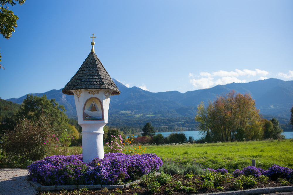
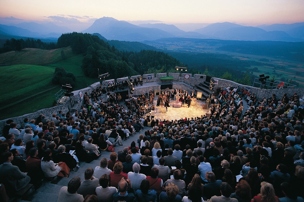
From Velden, the trail continues along the Drauradweg cycling path. On the way, you will pass the Föderlach nature preserve, Lake Faak, the famous "Egger Marterl" shrine and the Drobollach moor, which is also a nature preserve. From the Finkenstein castle arena that hosts concerts every summer and the Baumgartnerhöhe, hikers have a fantastic view of the turquoise-blue waters of Lake Faak.
Alpe-Adria-Trail: stage from Baumgartnerhöhe – Kranjska Gora/Slovenia
The Baumgartnerhöhe is the starting point for this stage. After a two-hour hike, you will reach the Jepza saddle on the border with Slovenia, not far from Kranjska Gora. From there, head towards the Isonzo valley via the Vršič pass and either continue towards the sea, the town of Tarvisio in Italy, or back to Villach across the Wurzenpass.
Alpe-Adria-Trail round tour
This stage of the Alpe-Adria-Trail connects the three regions of Carinthia, Slovenia and Friuli-Venezia Giulia over a distance of 123 km. From Baumgartnerhöhe, you can head for the new Kärnten Therme spa in Warmbad-Villach, and from there to the Gailtal valley. Next, you will cross the border to Italy and reach Monte Lussari, a well-known pilgrimage destination, via the town of Tarvisio. On your way towards Kranjska Gora, you will also pass the Laghi di Fusine lakes. Just one day more, and you will be back at your starting point after crossing the Karawanken mountain range!